Digital Inclinometer Systems: How They Work, Installation, and Applications
Monitoring ground movement and structural deformation is a critical component of many geotechnical, mining, civil engineering, and infrastructure projects. Whether assessing the stability of a tailings storage facility, retaining wall, embankment, dam, or deep excavation, understanding how the ground behaves over time can help identify potential risks before they become major problems.
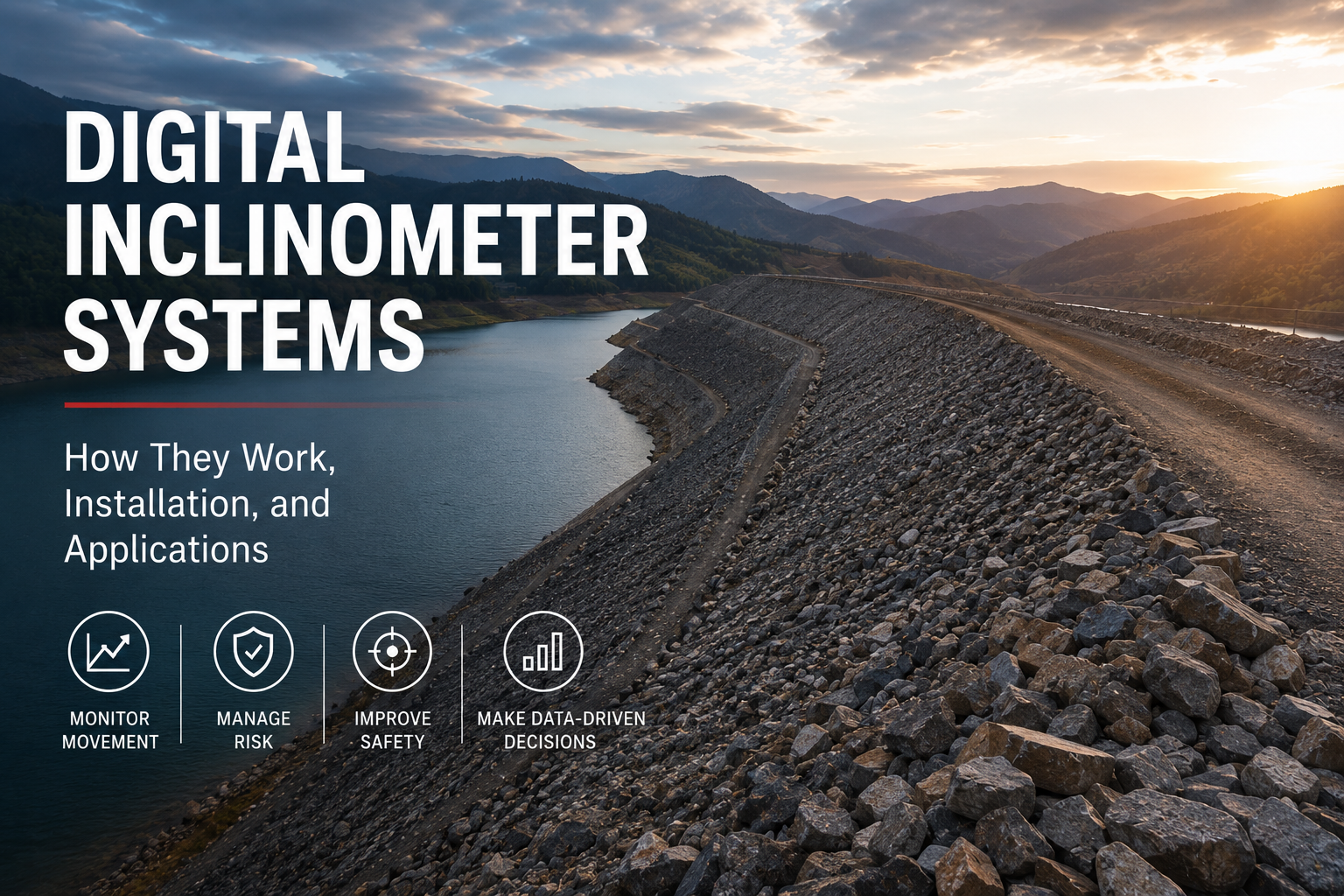
A digital inclinometer system is one of the most widely used tools for measuring lateral ground movement and deformation below the surface. These systems provide reliable quantitative data that engineers can use to evaluate stability, verify design assumptions, and support informed decision-making throughout the life of a project.
What Is a Digital Inclinometer?
A digital inclinometer is a geotechnical monitoring instrument used to measure the magnitude of tilt or inclination and track how that movement changes over time. The system typically consists of:
- Access casing and fittings
- A digital tilt-sensing probe
- An interconnecting cable and reel assembly
- A mobile or digital readout device for data collection and storage
The inclinometer probe travels through grooved casing installed within a borehole or structure. By measuring changes in inclination at predetermined depths, engineers can develop a profile of subsurface movement and identify deformation zones or shear planes.
How Does a Digital Inclinometer Work?
Digital inclinometer probes use precision accelerometers or MEMS sensors to measure tilt relative to gravity. As the probe rotates away from true vertical or horizontal alignment, the accelerometer output changes proportionally to the angle of inclination.
During monitoring:
- A reference survey is performed after installation.
- The probe is lowered to the bottom of the casing.
- Readings are collected at fixed depth intervals.
- Subsequent surveys are compared against the baseline measurements.
- Changes in inclination are converted into displacement profiles that show how the ground or structure has moved over time.
By comparing multiple data sets, engineers can determine the magnitude, direction, and rate of lateral movement, helping to identify developing instability before it becomes visible at the surface.
Key Components of a Digital Inclinometer System
Access Casing
The inclinometer casing forms the measurement path for the probe. It is typically installed within a borehole, embedded in fill material, cast into concrete structures, or attached to existing structures.
Precision grooves inside the casing guide the probe and ensure measurements are collected consistently at the same orientation during every survey. Special couplings help maintain alignment throughout the full depth of the installation.
Digital Inclinometer Probe
The probe contains highly sensitive accelerometers mounted within a stainless steel body. Spring-loaded wheels keep the probe centred within the casing while allowing smooth travel between measurement intervals.
Many modern probes are biaxial, enabling simultaneous measurement in two orthogonal directions. This allows engineers to build a complete picture of ground movement in multiple planes.
Cable and Reel Assembly
The probe is connected to a cable reel that supplies power and transmits data. Marked intervals on the cable ensure accurate positioning of the probe at each measurement depth.
Modern systems often incorporate Bluetooth communication between the reel and the readout device, eliminating many of the reliability issues associated with older cable-based data transfer systems.
Data Logger and Readout
Digital inclinometer systems commonly use mobile or dedicated handheld devices for data collection. These devices can store large volumes of data, display borehole profiles, generate graphs, and export results for further analysis and reporting.
Installation Considerations
Successful inclinometer monitoring begins with proper installation.
The first step is creating a near-vertical gauge well by installing inclinometer casing within a borehole or structure. Once installed, a baseline survey is conducted to establish reference readings against which all future measurements will be compared.
Key installation considerations include:
- Maintaining accurate casing alignment
- Ensuring casing joints remain properly oriented
- Protecting the casing during construction activities
- Using appropriate grouting methods
- Verifying that the casing remains unobstructed before monitoring begins
Attention to installation quality is essential, as even small alignment errors can affect long-term measurement accuracy.
Common Applications
Digital inclinometer systems are used across a wide range of geotechnical and civil engineering projects to monitor lateral movement and deformation. Common applications include:
Tailings Storage Facilities
Monitoring movement within embankments and foundations helps operators identify developing instability and verify performance against design expectations.
Dams and Hydraulic Structures
Inclinometers can detect shear planes, internal movement, and deformation within earthfill and concrete structures.
Retaining Walls and Deep Excavations
Monitoring wall deflection during excavation provides critical information for managing construction risks and protecting nearby infrastructure.
Landslide Monitoring
Digital inclinometers are widely used to identify and track movement within unstable slopes, helping engineers assess risk and evaluate remediation measures.
Piles and Foundation Systems
Engineers use inclinometer data to assess structural response under load and monitor long-term stability.
Why Monitoring Matters
Subsurface movement often develops long before visible signs appear at the surface. Without reliable monitoring data, potentially hazardous conditions may go undetected until significant deformation has already occurred.
Digital inclinometer systems provide valuable insight into:
- Ground behaviour
- Structural performance
- Deformation patterns
- Effectiveness of mitigation measures
- Long-term asset stability
This information supports safer construction practices, improved risk management, and more informed engineering decisions throughout the life of a project.
Conclusion
Digital inclinometer systems remain one of the most effective methods for monitoring lateral ground movement and structural deformation. By combining precision sensors, robust casing systems, and advanced data collection technology, they provide engineers with the information needed to understand subsurface behaviour and manage geotechnical risks with confidence.
From tailings dams and embankments to retaining walls, deep excavations, and landslide-prone areas, digital inclinometers continue to play a vital role in modern monitoring programmes, helping project teams make better decisions based on reliable field data.