


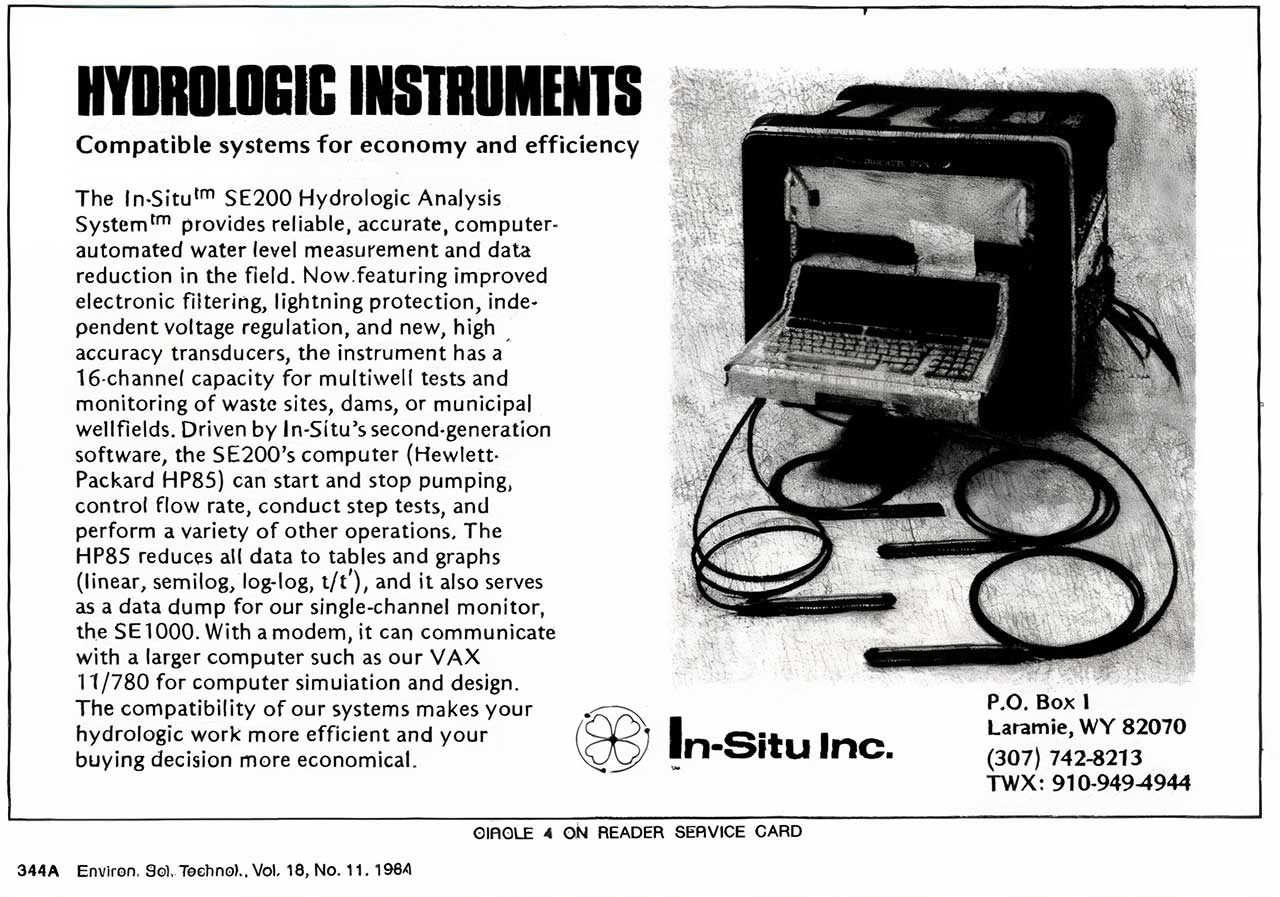
The Evolution of Groundwater Monitoring: From Manual Measurements to Connected Data
Groundwater monitoring has always depended on one fundamental requirement: reliable data.
What has changed dramatically is how that data is collected, stored, transmitted and interpreted. Over the past several decades, groundwater monitoring has evolved from periodic manual measurements to automated monitoring networks capable of collecting high-resolution data and delivering it remotely.
This evolution has done more than make fieldwork easier. It has changed what groundwater professionals can observe.
Where a monitoring programme may once have provided a handful of measurements each year, modern instrumentation can reveal short-term fluctuations, seasonal patterns, responses to rainfall, abstraction effects and long-term trends that periodic measurements may never capture.
However, the value of this technology depends on how it is applied. More data does not automatically mean better groundwater monitoring. A technically defensible monitoring programme still requires appropriate instrumentation, suitable monitoring frequencies, good installation practices and a clear understanding of what the data is intended to show.
The Era of Manual Groundwater Measurements
For many years, groundwater level monitoring relied primarily on manual measurements.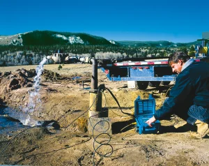
A field technician would visit a borehole or monitoring well, lower a water level meter into the casing and record the depth to water. The process was straightforward and, when performed correctly, could provide reliable measurements.
Manual monitoring remains valuable today. It is useful for verification, routine inspections and monitoring locations where continuous data is not required.
Its main limitation is temporal resolution.
A monthly measurement tells us the groundwater level at one point in time. It does not necessarily show what happened between visits.
A groundwater system may respond to rainfall within hours or days. Pumping may create drawdown and recovery cycles. Seasonal changes may occur between scheduled site visits. Short-duration events can pass entirely unnoticed.
This creates a fundamental limitation:
The monitoring programme can only observe what happens when someone is there to measure it.
For some applications, this is sufficient. For others, particularly aquifer testing, abstraction monitoring, mine dewatering, remediation and long-term resource assessment, it can leave significant gaps in the hydrogeological record.
The Arrival of Automated Data Logging
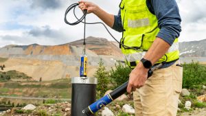 The development of electronic pressure transducers and data loggers changed groundwater monitoring significantly.
Instead of relying only on individual site visits, instruments could be installed in monitoring wells and programmed to record water levels automatically.
Early systems often consisted of separate components. A pressure transducer was installed in the borehole and connected to a data logger and battery system at the surface. These systems represented a major improvement because they allowed groundwater levels to be recorded repeatedly over time.
The next major step was integration.
Pressure sensor, temperature sensor, battery and data storage could be combined into a single compact instrument installed directly in the monitoring well.
This made continuous groundwater monitoring more practical and scalable.
Monitoring networks could be expanded without requiring complex surface installations at every location. Instruments could be deployed across multiple boreholes, left to collect data and downloaded during scheduled field visits.
The result was not simply more measurements.
It was a better view of groundwater behaviour.
From Individual Measurements to Hydrographs
Automated monitoring changed the groundwater dataset itself.
A manual monitoring programme may produce a series of isolated measurements. A data logger produces a hydrograph.
That distinction matters.
A hydrograph can reveal:
- seasonal groundwater level changes;
- recharge responses following rainfall;
- drawdown caused by abstraction;
- recovery after pumping stops;
- interference between nearby pumping wells;
- gradual long-term changes in groundwater storage; and
- sudden events that may indicate equipment, infrastructure or environmental changes.
These patterns are often difficult or impossible to identify from occasional manual measurements.
The appropriate logging interval depends on the monitoring objective.
A long-term regional groundwater network may not require measurements every minute. An aquifer test, however, may require rapid logging to capture early-time drawdown and recovery. A monitoring borehole near an active abstraction point may need a different logging interval from a background monitoring location.
The ability to collect high-frequency data is therefore valuable, but monitoring frequency should always be selected deliberately.
The goal is not to collect the largest possible dataset.
The goal is to collect the data needed to understand the groundwater system.
Telemetry Changed Access to Groundwater Data
Automated data loggers reduced the need for frequent manual measurements, but data still had to be retrieved.
Traditionally, this meant visiting each monitoring location, connecting to the instrument and downloading the stored data.
Telemetry changed that model.
With remote communication, groundwater data can be transmitted from the field to a central platform. Monitoring teams can review data without waiting for the next scheduled site visit.
This has several practical benefits.
Changes in groundwater level can be identified sooner. Data gaps can be detected before months of information are lost. Instrument behaviour can be reviewed remotely. Field visits can be planned around actual maintenance requirements rather than simply retrieving data.
For remote, hazardous or difficult-to-access monitoring locations, these benefits can be particularly significant.
Telemetry can also improve safety by reducing unnecessary site visits and limiting the amount of time field personnel need to spend at locations such as active mines, industrial sites, roadsides and remote boreholes.
However, remote access does not eliminate the need for fieldwork.
Sensors still require appropriate installation, inspection and verification. Boreholes can become damaged. Cables can move. Reference points can change. Instruments can foul or drift.
Telemetry improves access to data. It does not replace good monitoring practice.
More Data Is Not Automatically Better Data
One of the defining characteristics of modern groundwater monitoring is the amount of data that can be collected.
A single instrument logging every 15 minutes will generate more than 35,000 measurements in a year. Multiply that across a large monitoring network and the volume of data becomes substantial.
This creates both an opportunity and a responsibility.
High-resolution datasets can reveal groundwater behaviour in exceptional detail. They can also contain errors, offsets and misleading patterns if the monitoring system is poorly designed or maintained.
A technically sound programme should therefore consider the complete data chain:
Sensor → Installation → Logging → Transmission → Storage → Validation → Interpretation
Weakness at any point can affect the final dataset.
A high-accuracy sensor cannot compensate for poor installation. Reliable telemetry cannot correct an incorrect reference elevation. Cloud storage cannot identify every field-related anomaly automatically.
Modern monitoring technology is most valuable when it is supported by disciplined field procedures and data management.
The Importance of Barometric Compensation
Groundwater level measurements made with absolute pressure sensors include both water pressure and atmospheric pressure.
To determine the pressure associated with the water column, changes in barometric pressure must be accounted for.
Historically, this could involve separate processing steps using data from a barometric logger. Modern systems increasingly simplify this process by integrating compensation into data management workflows.
The principle, however, remains important.
Poor barometric compensation can introduce apparent groundwater level changes that are not actually caused by the aquifer.
This illustrates a broader point about the evolution of groundwater monitoring.
Technology can automate many tasks, but the underlying measurement principles have not disappeared.
Understanding how the measurement is made remains essential.
Adding Water Quality to the Groundwater Picture
Groundwater monitoring is also expanding beyond water level alone.
Water level data tells us how hydraulic conditions change. Water quality measurements can provide additional insight into the behaviour of the groundwater system.
Depending on the monitoring objective, parameters such as temperature, electrical conductivity, dissolved oxygen, pH and other water quality indicators can help identify changes that water level data alone may not reveal.
This is particularly relevant in applications such as:
- mine water monitoring;
- contamination investigations;
- remediation projects;
- saline intrusion studies;
- industrial groundwater monitoring; and
- long-term environmental monitoring.
The integration of level, water quality and telemetry data allows monitoring teams to build a more complete picture of groundwater conditions.
The challenge is to avoid collecting parameters simply because the technology allows it.
Every parameter should have a monitoring purpose.
Connected Monitoring Networks
The modern groundwater monitoring network is increasingly connected.
An instrument in a borehole may record water level and temperature. A telemetry device transmits the data. A cloud-based platform stores and displays the information. Monitoring teams can review trends, compare sites and identify unusual changes remotely.
Systems built around instruments such as In-Situ Level TROLL data loggers, VuLink telemetry and HydroVu data services demonstrate how the individual components of groundwater monitoring can be brought together into a connected workflow.
The real value of this connectivity is not simply convenience.
It is visibility.
A connected monitoring network can make it easier to determine:
- whether instruments are still reporting;
- whether groundwater levels are changing unexpectedly;
- whether a site requires attention;
- whether data gaps are developing; and
- whether field visits should be prioritised.
This can shift groundwater monitoring from periodic data collection towards active management of the monitoring network.
What Has Not Changed
Groundwater monitoring technology has evolved significantly, but the fundamentals remain remarkably consistent.
A good monitoring programme still begins with clear questions.
What are we trying to understand?
What changes do we need to detect?
How quickly could those changes occur?
What level of accuracy is required?
How will the data be verified?
How will the monitoring record be maintained over several years?
Technology should be selected only after these questions are understood.
The most advanced instrument is not automatically the best instrument for every site. Similarly, the highest logging frequency is not always the most appropriate.
Monitoring design should be driven by the hydrogeological objective.
Designing Groundwater Monitoring for the Long Term
Perhaps the most important result of the evolution of groundwater monitoring is the ability to build better long-term records.
Groundwater systems often change slowly. Understanding those changes may require years or even decades of reliable measurements.
This makes continuity important.
Instrumentation should be maintainable. Data formats should remain accessible. Reference points should be documented. Metadata should be preserved. Changes to instruments, monitoring frequencies and site conditions should be recorded.
A groundwater dataset becomes more valuable as it grows, provided its history remains traceable.
Modern technology makes it possible to collect more detailed groundwater data than ever before. The challenge is ensuring that the data collected today will still be understandable and defensible years from now.
From Measuring Water Levels to Understanding Groundwater Systems
The evolution of groundwater monitoring has been a progression from isolated measurements towards continuous observation.
Manual measurements provided snapshots.
Automated data loggers created hydrographs.
Telemetry improved access.
Cloud platforms connected monitoring networks.
Water quality sensors added additional layers of information.
Each step has improved our ability to observe groundwater systems, but the objective remains the same: to collect reliable data that supports better understanding and better decisions.
The future of groundwater monitoring will undoubtedly bring further advances in sensors, communications and data analysis.
Yet the most effective monitoring programmes will continue to be built on the same foundation: clear objectives, appropriate technology, sound field practice and data that can be trusted.
This article was inspired by In-Situ’s interview with groundwater expert Adam Hobson, “A Well-Established Industry: The Evolution of Groundwater Monitoring.”